

- 0
- 0
- 0$0.00
Search For Products
Popular searches
Trending Products

Samsung Quiet Comfort Noise Cancelling Earbuds - Black
(264)
Only 65 items left


Keurig K-Duo Bose Noise Cancelling Headphones 700
(301)
Only 65 items left
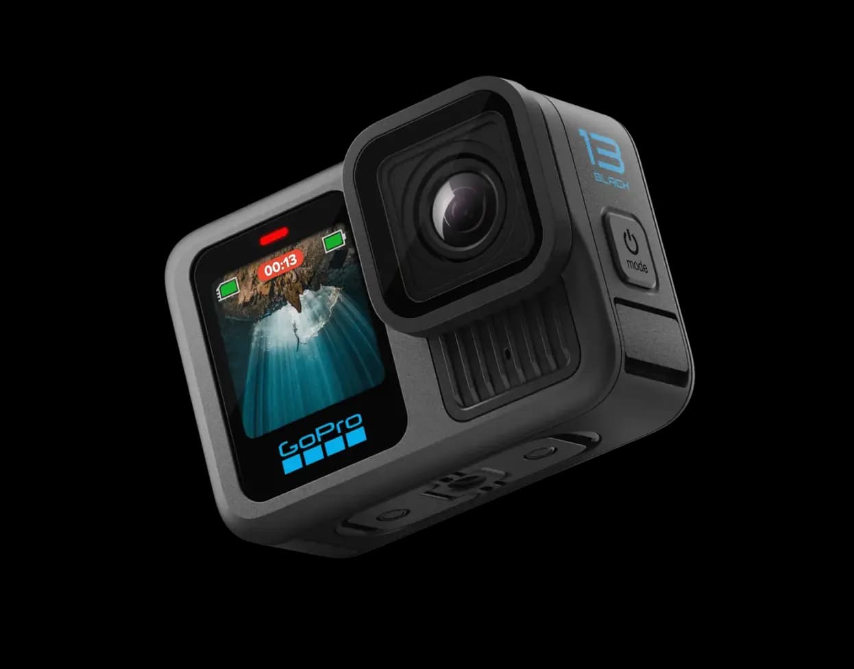

GoPro HERO 11 4K Action Camera with SD Card
(338)
Only 65 items left
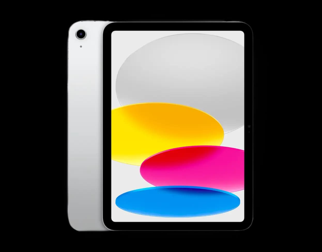

Samsung Galaxy N-569 Tab S7 with Stylish – 8GB/128GB
(375)
Only 65 items left
- Home
- Products
- Indian Type Certified Drones
- IdeaForge RYNO


IdeaForge RYNO
Maximum Launch Altitude (AMSL): 3000 m AMSL
Functional Temperature Range: -10°C to +50°C
Dust & Drizzle Resistance: IP53 rated
Aural Signature: <40 dB @ 300 meters slant range
SKU:
R254890
All India

Verified:

10 pcs left
Alternative For This Product
Loading alternative products...
Product Description
Discover The IdeaForge RYNO: The Ultimate Drone For Precision And Versatility
In the ever-evolving landscape of UAV technology, the IdeaForge RYNO stands as a paragon of precision and versatility. Engineered to meet the demanding needs of industries ranging from mapping and land surveying to mining, construction, and real estate, the RYNO IdeaForge drone is a robust solution for professionals seeking cutting-edge performance. This product description provides a comprehensive overview of the RYNO UAV, covering its features, technical specifications, and industry applications.
VISIT THIS CATEGORY PAGE TO EXPLORE THE INDIAN DRONES.
Overview
RYNO UAV is our micro category survey-grade UAV. It is equipped with an advanced mapping payload and a state-of-the-art post processed kinematic (“PPK”) module. RYNO UAV can be used for mapping, land survey, mining area planning, construction and real estate.
In-Depth Look At The IdeaForge RYNO Specs
The IdeaForge RYNO is designed to deliver exceptional performance across various applications. Here’s a detailed look at this IdeaForge RYNO Drone product’s technical specifications and key features:
Aerial Vehicle (AV) Characteristics:
UAV Weight (with battery and max. payload): <2 kg
UAV Dimensions: ~80 cm x 80 cm (using propeller)
Endurance: Up to 40 minutes with a mapping payload at 1000m AMSL (Above Mean Sea Level) Take-off
Range of Live Transmission (LOS): 4 km (unobstructed & interference-free)
Typical Cruise Speed: 10 m/s
Propulsion: Battery-powered electric propulsion
Maximum Operating Altitude (AGL): 400 m AGL (Above Ground Level)
Maximum Launch Altitude (AMSL): 3000 m AMSL
Functional Temperature Range: -10°C to +50°C
Dust & Drizzle Resistance: IP53 rated
Aural Signature: <40 dB @ 300 meters slant range
Wind Resistance: Up to 10 m/s (36 km/h or ~20 knots)
Technical Life of UAV (Landings): Up to 2000 flights
Launch & Recovery: Vertical take-off and landing without manual assistance
Maximum Recovery Space Needed: 25 m × 25 m Open Space
Autonomy: Take-off, landing, and flight without using any R/C controller
Flight Modes: Altitude Hold, Hover at a defined waypoint, Waypoint Navigation, Remotely Piloted Mode (RPV Mode)
Operating Crew: Minimum of 1
Deployment Time: <10 minutes
Packing and storing: Backpacks to transport all essential parts for the operation.
Failsafe Features: Auto-return to home and land on communication failure, low battery, exceeding wind limit, battery imbalance, high temperature. Hope you got to know about the IdeaForge RYNO Battery Life.
Navigation Lights: Switchable from Ground Control Station (GCS)
Survey Antenna & Base Station:
GNSS Grade: High accuracy L1 & L2 Frequency Band Enabled PPK
Base Station: High-accuracy L1 and L2 Frequency Band, IP53 enclosure
Mapping Performance at 120m AGL:
Ground Sampling Distance (GSD): <3 cm
Absolute X, Y Accuracy: <10 cm (with 95% confidence interval)
Absolute Z Accuracy: <20 cm (with 95% confidence interval)
Area Coverage: 80/60 overlap in minimum 1 sq km at 120 m AGL as well as 80/60 overlap in minimum 0.6 sq km at 60 m AGL
Onboard Storage: Expandable to a minimum of 64 GB
Ground Control Station (GCS) Software Features:
3D Maps: Switchable between 2D/3D map views, capability to tilt/rotate 3D map as per user input
GUI Display Parameters: Geographic map, UAV location, UAV trajectory, camera view polygon, waypoints, flight plan, real-time telemetry
Maps: Capability to work with open-source maps, download maps automatically, integrate geo-referenced raster maps, 3D map integration
Terrain Avoidance: Detects and avoids natural terrain using elevation data
Free Hand Annotation: Annotate desired locations on the map screen.
User Controls: Take-off/land, set altitude, waypoint navigation, dynamic flight plan adjustment, RPV mode with joystick
Joystick Controls: UAV pan control, altitude control
Pre-flight Checks: Capability to perform system pre-flight checks
Others: Essential telemetry data logging, export flight path in .kml format
Additional GCS Features:
Multi-Polygon Mapping: Ability to add several polygons in a sequence for mapping
Recommended GCS Controller Specifications:
Type: Laptop or Tablet
Screen Size: Minimum 10" diagonal
Functional Temperature Range: -10°C to +55°C
GCS Controller Battery Backup: At least 2 full endurance flights without a spare battery
IP Rating: IP65
Communication Link Characteristics:
Communication Link Capabilities: Transmit control commands, telemetry data, secure communication link with 128-bit AES encryption
Auto Tracking Comm Box: Auto-tracking directional antenna
Frequency Band: 2.4 GHz or 5 GHz (depending on application)
DGCA Compliance:
GNSS for Horizontal and Vertical Position Fixing: In-built dual, redundant GNSS module
Autonomous Flight Termination System: Auto-return home on various fail-safe features
Flashing Anti-Collision Strobe Lights: In-built navigation light
RFID and GSM SIM Card/NPNT Compliant: In-built GSM GPS tracker, NPNT capable avionics
Fire Resistant Identification Plate: Fire-resistant UIN label
Flight Controller with Flight Data Logging: As per DigitalSky RFM specifications
Payload
Equipped with an advanced mapping payload and a state-of-the-art post processed kinematic (“PPK”) module.

Real-world Outputs
RYNO’s standard output formats gives compatibility with your existing workflow.

How The IdeaForge RYNO Transforms Various Industries
Mapping and Land Survey
The IdeaForge RYNO excels in mapping and land surveying with its high-resolution imaging and LIDAR capabilities. This RYNO UAV creates detailed 3D maps and precise topographical data, making it essential for accurate land assessments and geographical planning. This leads to more informed decision-making and efficient analysis of land and terrain.
Mining Area Planning
In mining, the RYNO provides critical data for developing accurate mine plans and evaluating environmental impacts. This RYNO UAV product’s advanced terrain mapping features offer detailed insights, aiding in strategic planning and minimizing operational risks. The drone's durability ensures consistent performance even in challenging mining environments.
Construction
For construction projects, the IdeaForge RYNO delivers real-time aerial views and thorough site surveys. The multispectral IdeaForge RYNO Camera tracks construction progress and material conditions, facilitating effective project management and timely decision-making. This capability enhances both the planning and execution phases of construction projects.
Real Estate
The RYNO’s high-quality aerial imagery and mapping features are valuable for real estate professionals. It offers comprehensive views of properties and their surroundings, assisting in property evaluations and marketing. This helps potential buyers and investors gain a clearer understanding of property features and locations. The positive IdeaForge RYNO Review from buyers of this product speaks volumes about the massive usefulness of this product.
Stocks Are Running Out! Call Us Today To Buy This Product!
As a top UAV, the IdeaForge RYNO distinguishes itself by skillfully fusing accuracy, adaptability, as well as cutting-edge technology to meet a range of industry demands. Professionals' approaches to mapping, mining, construction, as well as real estate are being completely transformed by the RYNO thanks to its high-resolution photography, robust design, as well as wide range of operating capabilities.
Its robust specifications ensure reliable performance in various conditions, making it an invaluable tool for accurate data collection and strategic planning. Whether enhancing land assessments, improving mine planning, monitoring construction progress, or showcasing real estate, the RYNO IdeaForge offers unparalleled value and efficiency, setting a new standard in UAV technology.
Subscribe our newsletter
Subscribe and get discount 20% Off
